CESNI Lists Homepage

Waterways

Classification of inland waterways by category.

Maps Table
All Maritime character (36) Non-linked waterways (exemptions) (8) Specific risks (18)
Reset

The maps are indicative, only the text of the list is authoritative. Under each map there is a legend explaining what it shows. The base maps and the courses come from the OpenStreetMap contributors and from EuRIS (eurisportal.eu) for fairways and routes.
Member States
AT Austria
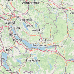
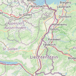
Non-linked waterways (exemptions) Directive (EU) 2017/2397 Linked to the navigable network of another MS
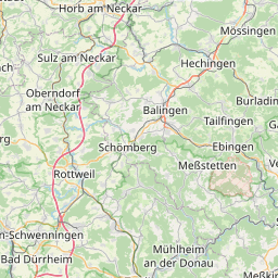
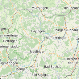
Boatmasters and other deck crew members on inland waterways not linked to the navigable network of other Member States. This also applies to the Lake Constance.

Map legend: Water body outline · Lake Constance - OpenStreetMap
Specific risks Directive (EU) 2017/2397
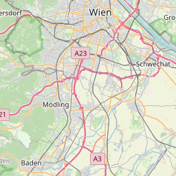
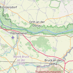
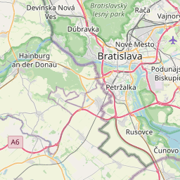
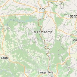
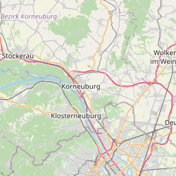
Danube, km 1880 to km 1920

Map legend: Stretch described · rkm 1 880 → rkm 1 920 (Fischamend → Hainburg) - OpenStreetMap

Specific risks Directive (EU) 2017/2397
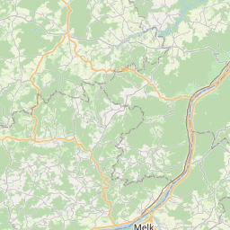
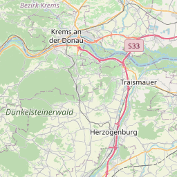
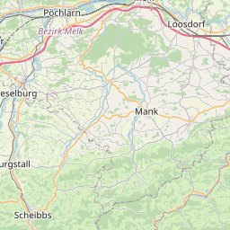
Danube, km 2001 to km 2036

Map legend: Stretch described · rkm 2 001 → rkm 2 036 (Krems → Melk) - OpenStreetMap

Specific risks Directive (EU) 2017/2397
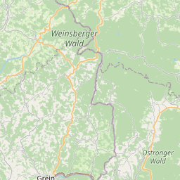
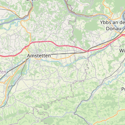
Danube, km 2074 to km 2081

Map legend: Stretch described · rkm 2 074 → rkm 2 081 (Grein / Struden) - OpenStreetMap

BE Belgium
Maritime character Directive (EU) 2017/2397
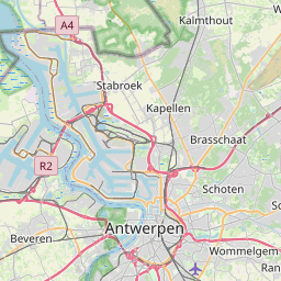
Beneden-Zeeschelde

Map legend: Stretch described · Burcht (Antwerp) → Dutch border - OpenStreetMap

Maritime character Directive (EU) 2017/2397
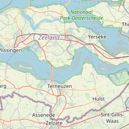
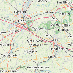
Kanaal Gent-Terneuzen

Map legend: Stretch described · Ghent (Tolhuis) → Dutch border at Zelzate - OpenStreetMap

* The grey dotted line is the Dutch section of the canal (Zelzate → Terneuzen locks, 16 km, EuRIS). It is not part of the Belgian list and is shown for orientation only.

Non-linked waterways (exemptions) Directive (EU) 2017/2397 Linked to the navigable network of another MS
Personnel working on Inland City Tours on all inland waterways that are not linked to the navigable network of another Member State.

Map not available for this case.

DE Germany
Maritime character Directive (EU) 2017/2397
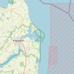
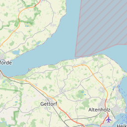
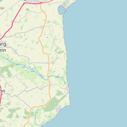
Eckernförder Bucht

Map legend: Water body outline · Eckernförder Bucht - OpenStreetMap

Landwards of a line linking Boknis-Eck and the north-eastern point of the mainland near Dänisch Nienhof.
Maritime character Directive (EU) 2017/2397
Eider

Map legend: Stretch described · Gieselau Canal mouth (km 22.64) → Tränke–Vollerwiek line - OpenStreetMap

From upstream of the mouth of the Gieselau Canal (km 22,64) to the line between the middle of the fortress (Tränke) and the church tower of Vollerwiek.
Maritime character Directive (EU) 2017/2397
Elbe

Map legend: Stretch described · 10 waters - EuRIS

Show the 10 waters one by one

Mühlenberger Loch

Ruthenstrom

Hahnöfer Nebenelbe

Lühesander Süderelbe

Bützflether Süderelbe

Haseldorfer Binnenelbe

Pagensander Nebenelbe

Schwarztonnensander Nebenelbe

Wischhafener Süderelbe

Glückstädter Nebenelbe

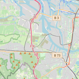
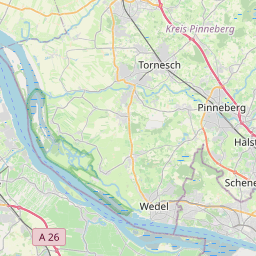
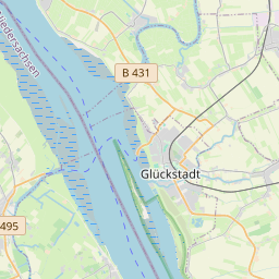
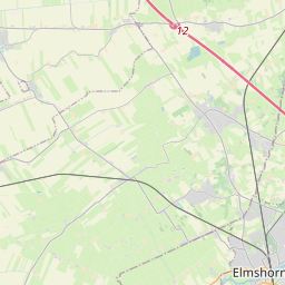
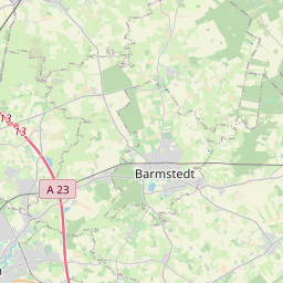
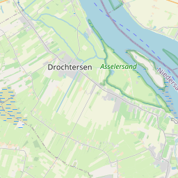
From the lower limit of the port of Hamburg as far as a line linking the ball beacon at Döse and the western edge of the Friedrichskoog dyke (Dieksand) including: - Mühlenberger Loch - Ruthenstrom (from km 3,75 till the mouth in the Elbe) - Nebenelben: • Hahnöfer Nebenelbe (between the prolongation of the Elbe signposting from km 635,00 to km 644,00) • Lühesander Süderelbe (between the prolongation of the Elbe signposting from km 646,50 to km 650,50) • Bütztflether Süderelbe (from km 0,69 till the mouth in the Elbe) • Haseldorfer Binnenelbe (between the prolongation of the Elbe signposting from km 653,00 to km 658,00) • Pagensander Nebenelbe (between the prolongation of the Elbe signposting from km 659,00 to km 664,00) • Schwarztonnensander Nebenelbe (between the prolongation of the Elbe signposting from km 661,00 to km 664,00) • Wischhafener Süderelbe (from km 8,03 till the mouth in the Elbe) • Glückstädter Nebenelbe (between the prolongation of the Elbe signposting from km 672,00 to km 676,00) Included are also the harbours which are situated on the waterway.
Maritime character Directive (EU) 2017/2397
Elbe - Hafenelbe/Hamburger Hafen

Map legend: Stretch described · Elbe km 607.5 → km 639 (Hafenelbe) - EuRIS

Km 607.5 to km 639
Maritime character Directive (EU) 2017/2397
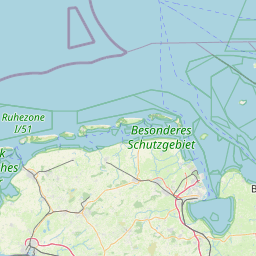
Ems

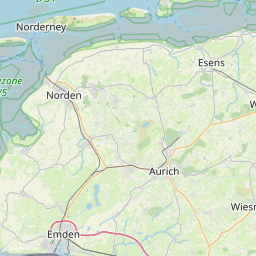
Map legend: Stretch described · Greetsiel (Pilsum) lighthouse – Eemshaven west pier line → 53°30′N / 6°45′E (Alte Ems) - entered by hand

From a line linking the former Greetsiel lighthouse and the western pier of the port entrance at Eemshaven seawards as far as latitude 53° 30‘ N and longitude 6° 45’ E, i.e. slightly seawards of the lightering area for dry-cargo carriers in the Alte Ems (In the case of vessels whose home port is elsewhere, account is to be taken of Article 32 of the Ems-Dollart Treaty of 8 April 1960 (BGBl. 1963 II, p. 602).
Maritime character Directive (EU) 2017/2397
Ems

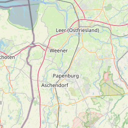
Map legend: Stretch described · Diemen–Halte line (Papenburg) → Greetsiel (Pilsum) lighthouse – Eemshaven west pier line - OpenStreetMap

From a line across the Ems near the entrance to the port of Papenburg between the former Diemen pumping station and the opening of the dyke at Halte as far as a line linking the former Greetsiel lighthouse and the western pier of the port entrance at Eemshaven (In the case of vessels whose home port is elsewhere, account is to be taken of Article 32 of the Ems-Dollart Treaty of 8 April 1960 (BGBl. 1963 II, p. 602). Included are also the harbours which are situated on the waterway.
Maritime character Directive (EU) 2017/2397
Este

Map legend: Stretch described · Buxtehude lock (km 0.25) → mouth in the Elbe at Cranz - OpenStreetMap

From the tail water of Buxtehude lock (km 0,25) to the mouth in the Elbe.
Maritime character Directive (EU) 2017/2397
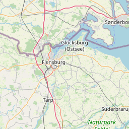
Flensburger Förde

Map legend: Water body outline · Flensburger Förde - OpenStreetMap

Landwards of a line linking Kegnäs lighthouse and Birknack and northwards up to the German-Danish border in the Flensburger Förde.*

* The grey dotted area is the Danish part of the Flensburg Fjord: landward of the Kegnæs lighthouse – Birknack line but north of the German–Danish border. It is not part of the German list and is shown for orientation only.

Maritime character Directive (EU) 2017/2397
Freiburger Hafenpriel

Map legend: Stretch described · Freiburg sluice → mouth in the Elbe - OpenStreetMap

From the eastern edge of the sluice in Freiburg an der Elbe to the mouth in the Elbe.
Maritime character Directive (EU) 2017/2397
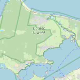
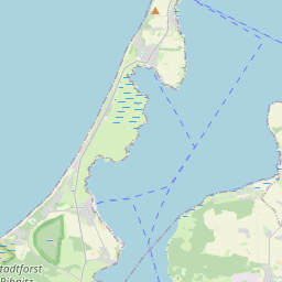
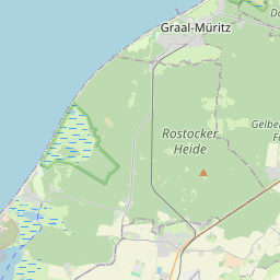
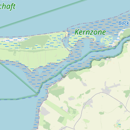
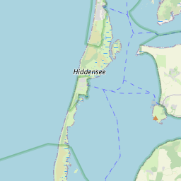
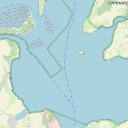
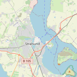
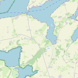
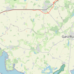
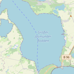
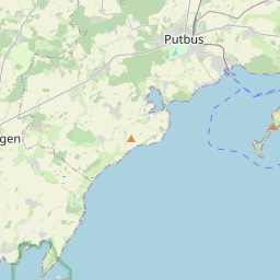
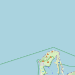
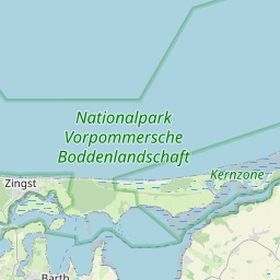
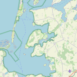
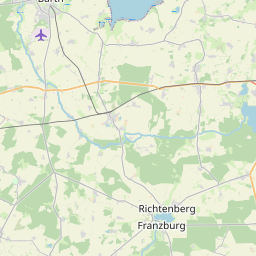
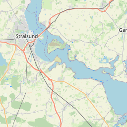
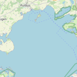
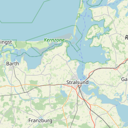
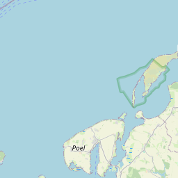
Gewässer, die vom Festland und den Halbinseln Darß und Zingst sowie den Inseln Bock, Hiddensee und Rügen eingeschlossen sind (einschließlich Stralsunder Hafengebiet)/Waters enclosed by the mainland and the Darß and Zingst pensinsulas and by the islands of Bock, Hiddensee and Rügen (including Stralsund port area)

Map legend: Water body outline · 9 waters - OpenStreetMap

Show the 9 waters one by one

Saaler Bodden

Bodstedter Bodden

Barther Bodden

Grabow

Waters around Bock (Vierendehlgrund, Barhöfter Rinne)

Kubitzer Bodden

Schaproder Bodden

Vitter Bodden

Strelasund (Barhöft – Stralsund – Palmer Ort)

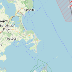
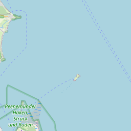
Seawards limited between - Zingst peninsula and Bock island: by the parallel of latitude 54° 26′ 42′′ N, - Bock island and Hiddensee island: by the line linking the northern tip of the Bock island and the southern tip of the Hiddensee island, - Hiddensee island and Rügen island (Bug): by the line linking the south-eastern tip of Neubessin and Buger Haken
Maritime character Directive (EU) 2017/2397
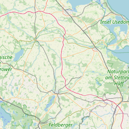
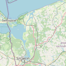
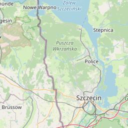
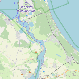
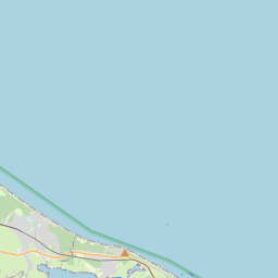
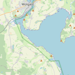
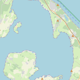
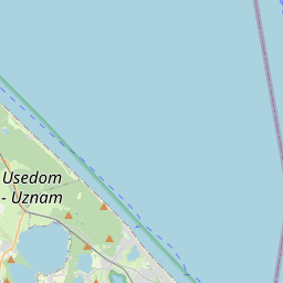
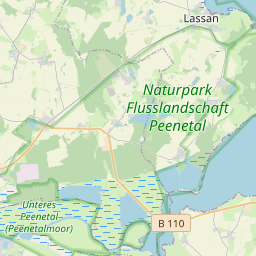
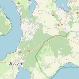
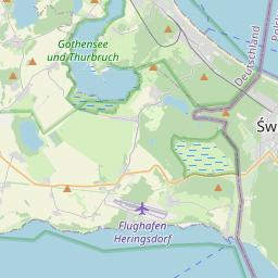
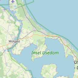
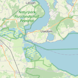
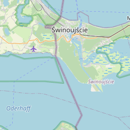
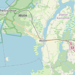
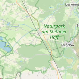
Gewässer, die vom Festland und der Insel Usedom eingeschlossen sind (Peenestrom, einschließlich Wolgaster Hafengebiet, Achterwasser, Stettiner Haff)/Waters enclosed by the mainland and the island of Usedom (the Peenestrom, including Wolgast port area, Achterwasser, Stettiner Haff)

Map legend: Water body outline · 3 waters - OpenStreetMap

Show the 3 waters one by one

Peenestrom (incl. Wolgast port area)

Achterwasser

Stettiner Haff (German part, Kleines Haff)

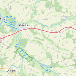
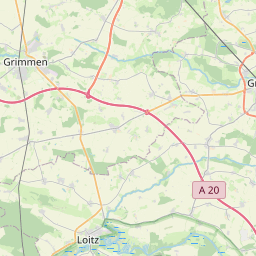
Eastwards as far as by the German-Polish border in the Stettiner Haff*

* The grey dotted area is the Polish part of the Stettiner Haff (Wielki Zalew / Zalew Szczeciński), east of the German–Polish border. It is not part of the German list and is shown for orientation only.

Maritime character Directive (EU) 2017/2397
Gieselaukanal

Map legend: Whole course · Gieselaukanal - OpenStreetMap

From the mouth in the Eider to the mouth in the Nord-Ostsee Canal
Maritime character Directive (EU) 2017/2397
Greifswalder Bodden und Greifswalder Hafengebiet mit Ryck/Greifswalder Bodden and Greifswald port area including Ryck

Map legend: Water body outline · 2 waters - OpenStreetMap

Show the 2 waters one by one

Greifswalder Bodden

Ryck (Greifswald port area, from the Steinbecker Brücke)

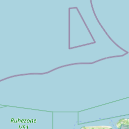
From the eastern edge of the Steinbecker Brücke in Greifswald to a line linking the eastern tip of the Thiessower Haken (Südperd) to the eastern tip of the Ruden island, and to the northern tip of the Usedom island (54° 10′ 37′′ N, 13° 47′ 51′′ E).
Maritime character Directive (EU) 2017/2397
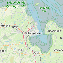
Jade

Map legend: Water body outline · Jade - OpenStreetMap

Landwards of a line linking the former Schillig upper light and the church tower at Langwarden
Maritime character Directive (EU) 2017/2397
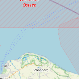
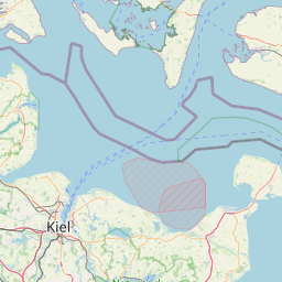
Kieler Förde

Map legend: Water body outline · Kieler Förde - OpenStreetMap

Landwards of a line linking the Bülk lighthouse and the Laboe naval memorial.
Maritime character Directive (EU) 2017/2397
Krückau

Map legend: Stretch described · Wedenkamp bridge, Elmshorn → mouth in the Elbe - OpenStreetMap

From the south-western edge of the Wedenkamp road bridge in Elmshorn to the mouth in the Elbe.
Maritime character Directive (EU) 2017/2397
Leda

Map legend: Stretch described · Leer sea lock → mouth in the Ems - OpenStreetMap

From the entrance of the outer harbour of Leer sea lock to the mouth in the Eems
Maritime character Directive (EU) 2017/2397
Lesum

Map legend: Whole course · Lesum - OpenStreetMap

From the confluence of the Hamme and Wümme (km 0,00) to the mouth in the Weser.
Maritime character Directive (EU) 2017/2397
Lühe

Map legend: Whole course · Lühe - OpenStreetMap

From the tail water of the Au-Mühle in Horneburg (km 0,00) to the mouth in the Elbe
Maritime character Directive (EU) 2017/2397
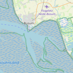
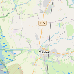
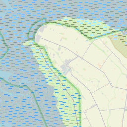
Meldorfer Bucht

Map legend: Water body outline · Meldorfer Bucht - OpenStreetMap

Landwards of a line linking the western edge of the Friedrichskoog dyke (Dieksand) and the western pier head at Büsum.
Maritime character Directive (EU) 2017/2397
Nord-Ostsee-Kanal einschließlich Audorfer See und Schirnauer See/Nord-Ostsee-Kanal including Audorfer See and Schirnauer See

Map legend: Stretch described · 4 waters - OpenStreetMap

Show the 4 waters one by one

Nord-Ostsee-Kanal (Brunsbüttel pier heads → Kiel-Holtenau entry lights, incl. Audorfer See, Borgstedter See and Schirnauer See on its course)

Flemhuder See

Schirnauer See

Achterwehrer Schifffahrtskanal

From a line linking the pier heads at Brunsbüttel as far as a line linking the entry lights at Kiel-Holtenau, including Borgstedter See and Enge, Flemhuder See and the Achterwehrer Canal.
Maritime character Directive (EU) 2017/2397
Oste

Map legend: Stretch described · Oste barrage road bridge (km 69.36) → mouth in the Elbe (buoy Oste 1) - OpenStreetMap

From 210 m upstream of the axis of the road bridge over the Oste barrage (km 69,36) to the mouth in the Elbe
Maritime character Directive (EU) 2017/2397
Pinnau

Map legend: Stretch described · Pinneberg railway bridge → mouth in the Elbe - OpenStreetMap

From the south-western edge of the railway bridge in Pinneberg to the mouth in the Elbe
Maritime character Directive (EU) 2017/2397
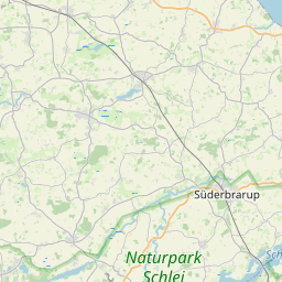
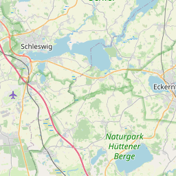
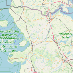
Schlei

Map legend: Water body outline · Schlei - OpenStreetMap

Landwards of a line between the Schleimünde pier heads.
Maritime character Directive (EU) 2017/2397
Schwinge

Map legend: Stretch described · Salztor lock, Stade → mouth in the Elbe - OpenStreetMap

From the north edge of the Salztor lock in Stade to the mouth in the Elbe.
Maritime character Directive (EU) 2017/2397
Stör

Map legend: Stretch described · Rensing gauge → mouth in the Elbe - OpenStreetMap

From Rensing tide gauge to the mouth in the Elbe
Maritime character Directive (EU) 2017/2397
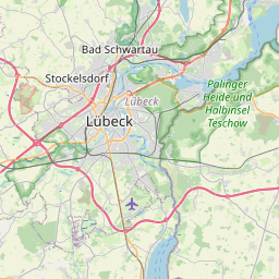
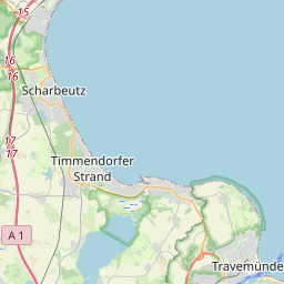
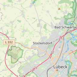
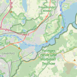
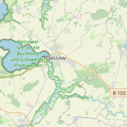
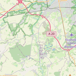
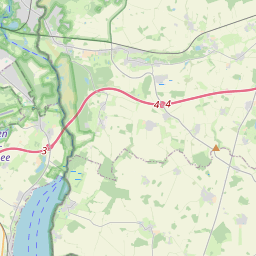
Trave

Map legend: Stretch described · 3 waters - OpenStreetMap

Show the 3 waters one by one

Trave (railway lift bridge in Lübeck → Travemünde pier heads)

Dassower See

Pötenitzer Wiek

From the north-western edge of the railway lift bridge in Lübeck with the Pötenitzer Wiek, and the Dassower See as far as a line linking the southern inner and northern outer pier heads at Travemünde.
Maritime character Directive (EU) 2017/2397
Uecker

Map legend: Stretch described · road bridge, Ueckermünde → the jetties at the mouth - OpenStreetMap

From the south-west edge of the road bridge in Ueckermünde to the linking line over the seaward edges of the jetties
Maritime character Directive (EU) 2017/2397
Warnow und Unterwarnow mit Breitling und Nebenarmen (ohne Nebenarm westlich der Badewieseninsel)/Warnow and Unterwarnow, including the Breitling and side branches (without side branche west of the Badewieseninsel)

Map legend: Stretch described · 2 waters - OpenStreetMap

Show the 2 waters one by one

Unterwarnow (Rostock–Stralsund railway bridge → Warnemünde pier heads)

Breitling

From the southern edge of the railway bridge Rostock-Stralsund to a line linking the northern head of the western pier and the northern head of the eastern pier in Rostock-Warnemünde.
Maritime character Directive (EU) 2017/2397
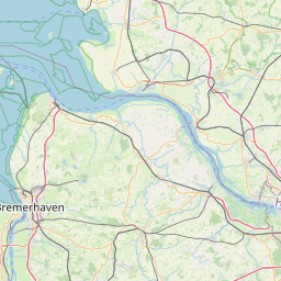
Weser

Map legend: Stretch described · 4 waters - OpenStreetMap

Show the 4 waters one by one

Weser (Bremen railway bridge → Langwarden–Cappel line)

Rekumer Loch

Rechter Nebenarm

Schweiburg

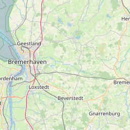
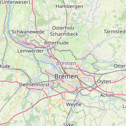
From the north-western edge of the railway bridge in Bremen as far as a line linking Langwarden and Cappel church towers, including the Weser side branches known as Rekumer Loch, Rechter Nebenarm and Schweiburg. Included are also the harbours which are situated on the waterway.
Maritime character Directive (EU) 2017/2397
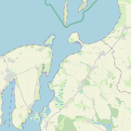
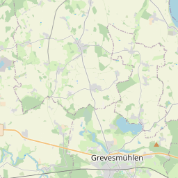
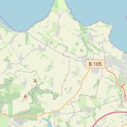
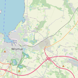
Wismarbucht einschließlich Kirchsee, Breitling, Salzhaff und Wismarer Hafengebiet/Wismarbucht including Kirchsee, Breitling, Salzhaff and Wismar port area

Map legend: Water body outline · 3 waters - OpenStreetMap

Show the 3 waters one by one

Wismarbucht (incl. Breitling and Wismar port)

Kirchsee

Salzhaff

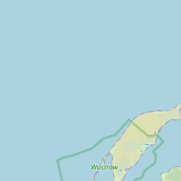
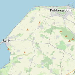
Seawards as far as a line linking Hohen Wieschendorf Huk and Timmendorf light and a line linking Gollwitz light on the Poel island and the southern tip of the Wustrow peninsula.
Non-linked waterways (exemptions) Directive (EU) 2017/2397 Linked to the navigable network of another MS
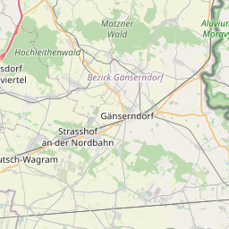
All persons referred to in Article 4(1), Article 5(1) and Article 6 on all inland waterways that are not linked to the navigable network of another Member State. This also applies to the Lake Constance.

Map legend: Water body outline · Lake Constance - OpenStreetMap
Specific risks Directive (EU) 2017/2397
Danube, km 2249 to km 2322,02

Map legend: Stretch described · rkm 2 249 → rkm 2 322.02 (Vilshofen → Straubing) - EuRIS

Specific risks Directive (EU) 2017/2397
Elbe, km 322,90 to km 329,85

Map legend: Stretch described · rkm 322.9 → rkm 329.85 (Magdeburg) - OpenStreetMap

Specific risks Directive (EU) 2017/2397
Elbe, km 50,00 to km 60,60

Map legend: Stretch described · rkm 50 → rkm 60.6 (Dresden) - OpenStreetMap

Specific risks Directive (EU) 2017/2397
Elbe, km 502,25 to km 568,90

Map legend: Stretch described · rkm 502.25 → rkm 568.9 (Dömitz → Lauenburg) - OpenStreetMap

Specific risks Directive (EU) 2017/2397
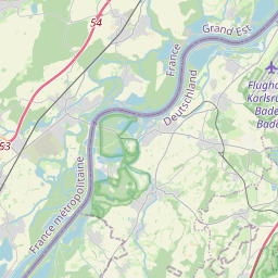
Rhine, km 335 to km 352 [Border France-Germany]

Map legend: Stretch described · rkm 335 → rkm 352 (French–German border reach) - EuRIS

Specific risks Directive (EU) 2017/2397
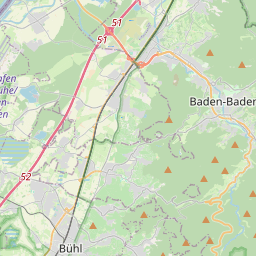
Rhine, km 335,66 to km 425

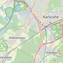
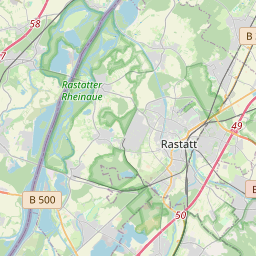
Map legend: Stretch described · rkm 335.66 → rkm 425 (Iffezheim → Mannheim) - EuRIS

Specific risks Directive (EU) 2017/2397
Rhine, km 498,45 to km 592

Map legend: Stretch described · rkm 498.45 → rkm 592 (Mainz → Koblenz) - OpenStreetMap

Specific risks Directive (EU) 2017/2397
Weser, km 0 to km 204,47

Map legend: Stretch described · rkm 0 → rkm 204.47 (Hann. Münden → Minden) - OpenStreetMap

EE Estonia
Non-linked waterways (exemptions) Directive (EU) 2017/2397 Not linked to the navigable network of another MS
Member States that have notified that they have implemented the Directive in accordance with Article 39(3)

Map not available for this case.
FI Finland
Maritime character Directive (EU) 2017/2397 GIS · Väylävirasto
All Finnish inland waterways

Map not available for this case.
Non-linked waterways (exemptions) Directive (EU) 2017/2397 Not linked to the navigable network of another MS
Member States that have notified that they have implemented the Directive in accordance with Article 39(2)

Map not available for this case.
FR France
Specific risks Directive (EU) 2017/2397
Rhine, km 335 to km 352 [Border France-Germany]

Map legend: Stretch described · rkm 335 → rkm 352 (French–German border reach) - EuRIS
HR Croatia
Specific risks Directive (EU) 2017/2397
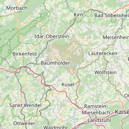
Sava, km 299 to km 333

Map legend: Stretch described · rkm 299 → rkm 333 (Šamac area) - OpenStreetMap
Specific risks Directive (EU) 2017/2397
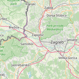
Sava, km 514 to km 594

Map legend: Stretch described · rkm 514 → rkm 594 (Jasenovac → Sisak) - EuRIS

HU Hungary
Specific risks Directive (EU) 2017/2397
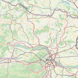
Danube, km 1433 to km 1708

Map legend: Stretch described · rkm 1 433 → rkm 1 708 (Mohács → Szob) - OpenStreetMap
Specific risks Directive (EU) 2017/2397
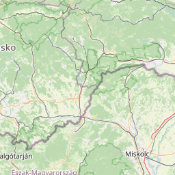
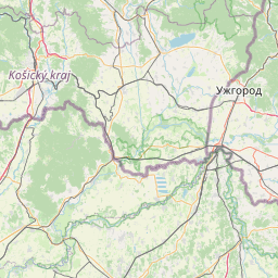
Danube, km 1708 to km 1811 [Border Hungary-Slovakia]

Map legend: Stretch described · rkm 1 708 → rkm 1 811 (Szob → Sap/Palkovicovo, HU–SK border) - OpenStreetMap
Specific risks Directive (EU) 2017/2397
Tisza, km 255 to km 403

Map legend: Stretch described · rkm 255 → rkm 403 (Csongrád → Kisköre barrage) - OpenStreetMap

LT Lithuania
Maritime character Directive (EU) 2017/2397
Klaipeda State Seaport Area

Map legend: Water body outline · Klaipėda State Seaport - entered by hand

Non-linked waterways (exemptions) Directive (EU) 2017/2397 Not linked to the navigable network of another MS
Member States that have notified that they have implemented the Directive in accordance with Article 39(2)

Map not available for this case.

LV Latvia
Non-linked waterways (exemptions) Directive (EU) 2017/2397 Not linked to the navigable network of another MS
Member States that have notified that they have implemented the Directive in accordance with Article 39(3)

Map not available for this case.

NL Netherlands
Maritime character Directive (EU) 2017/2397
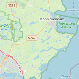
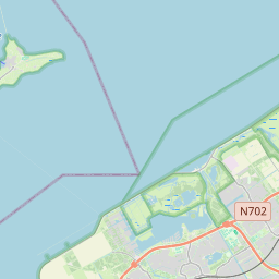
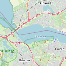
Inland waters with a maritime character are the Westerschelde, the Oosterschelde, the Waddenzee, the Eems, the Dollard, the IJsselmeer, the IJmeer and the Markermeer, with the exception of the Gouwzee.

Map legend: Water body outline · 8 waters - entered by hand

Show the 8 waters one by one

Westerschelde

Oosterschelde

Waddenzee

Eems

Dollard

IJsselmeer

Markermeer

IJmeer

SK Slovakia
Non-linked waterways (exemptions) Directive (EU) 2017/2397 Linked to the navigable network of another MS
All crew members referred to in Article 4(1), Article 5(1) and Article 6 on all inland waterways that are not linked to the navigable network of another Member State. This also applies to the Vah, which is not fully navigable and on which navigation is therefore only possible locally.

Map legend: Whole course · Váh - OpenStreetMap

Specific risks Directive (EU) 2017/2397
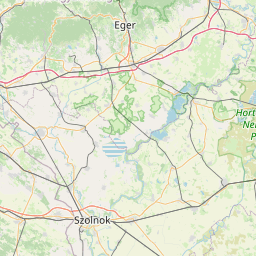
Danube, km 1708 to km 1811 [Border Hungary-Slovakia]

Map legend: Stretch described · rkm 1 708 → rkm 1 811 (Szob → Sap/Palkovicovo, HU–SK border) - OpenStreetMap
No data published to date for the displayed selection: BG CH CY CZ DK ES GR IE IT LU MT PL PT RO RS SE SI
Official sources